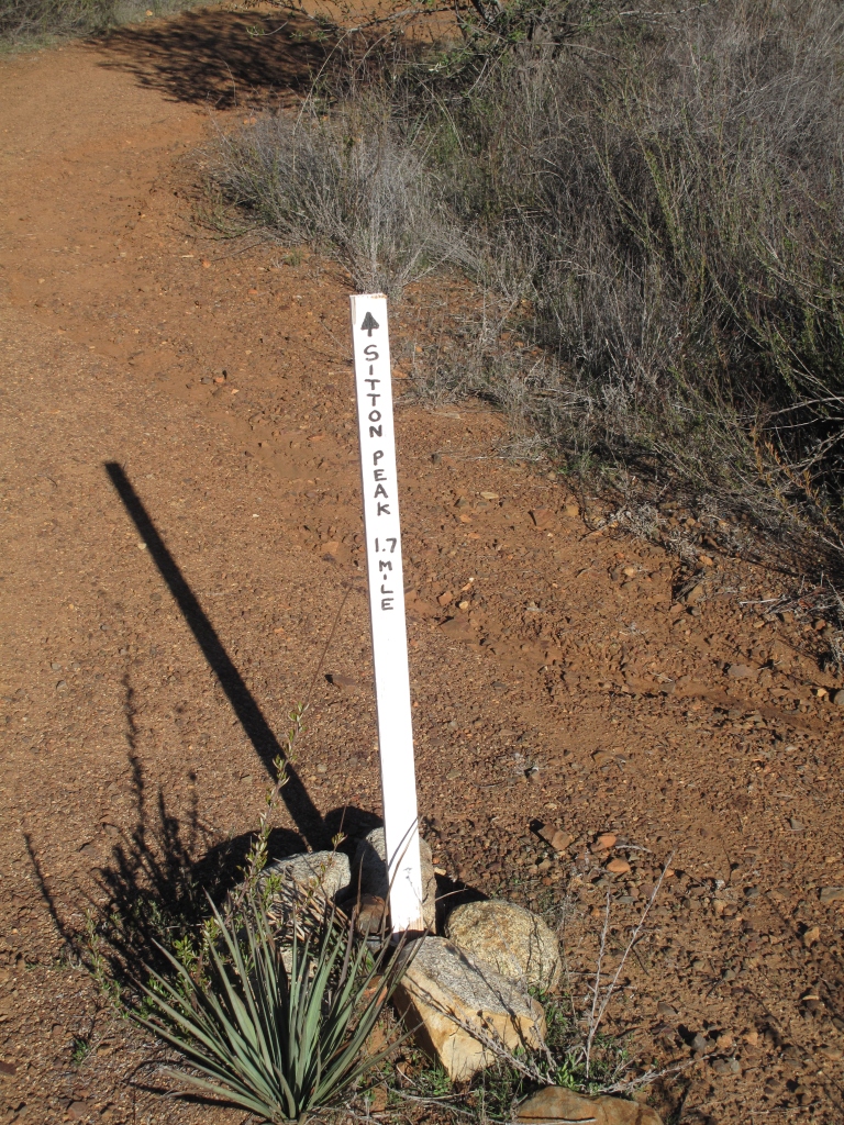
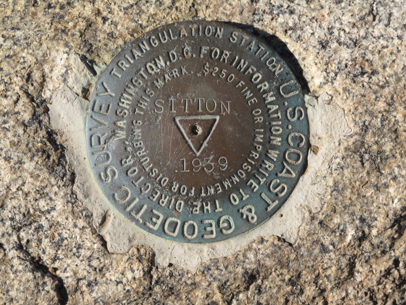
In an effort to fight the Christmas pounds which could accumulate and probably will anyway I decided to hike to Sitton Peak and do an activation.
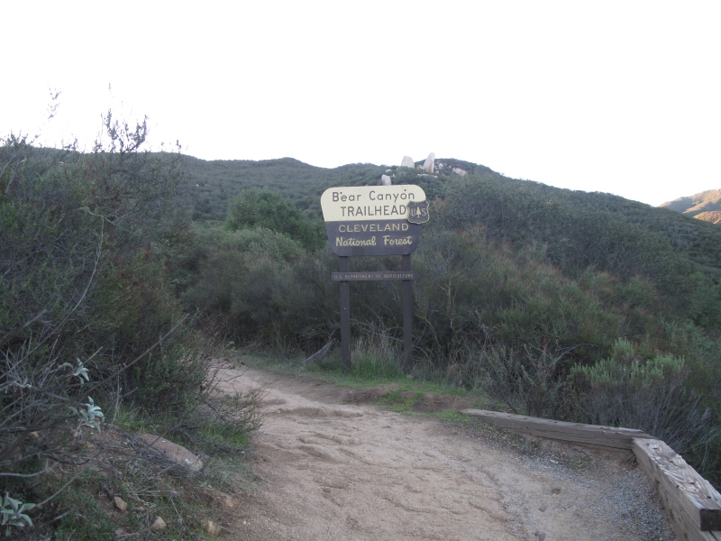
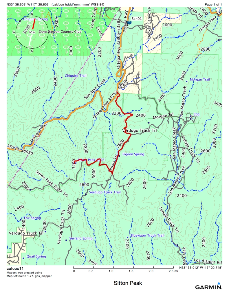
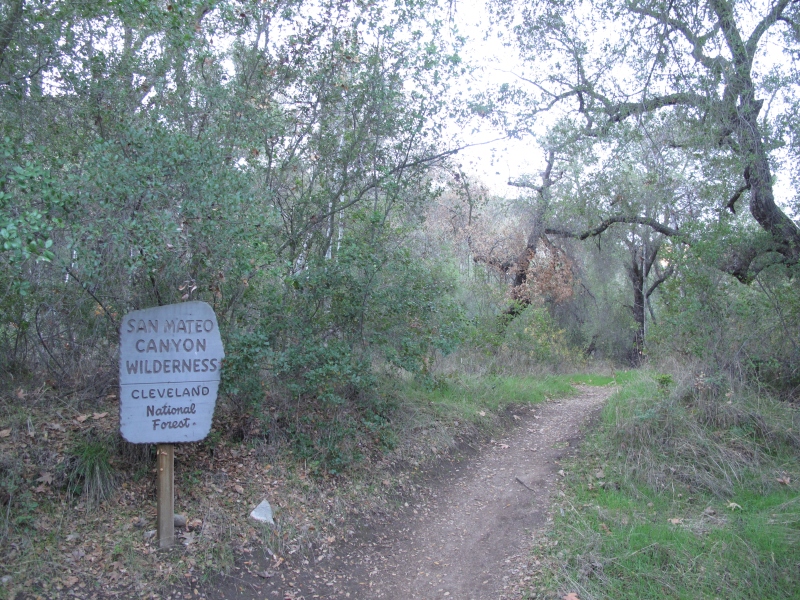
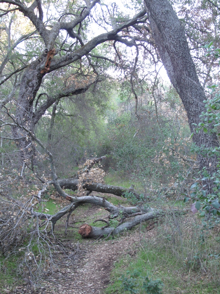
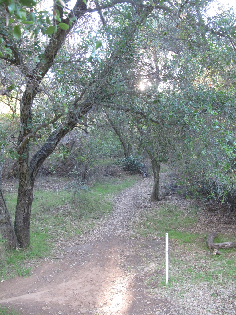
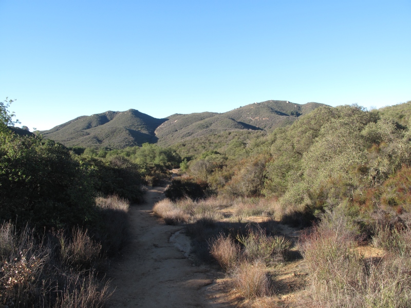
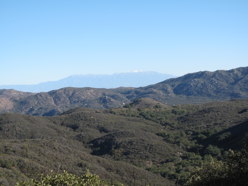
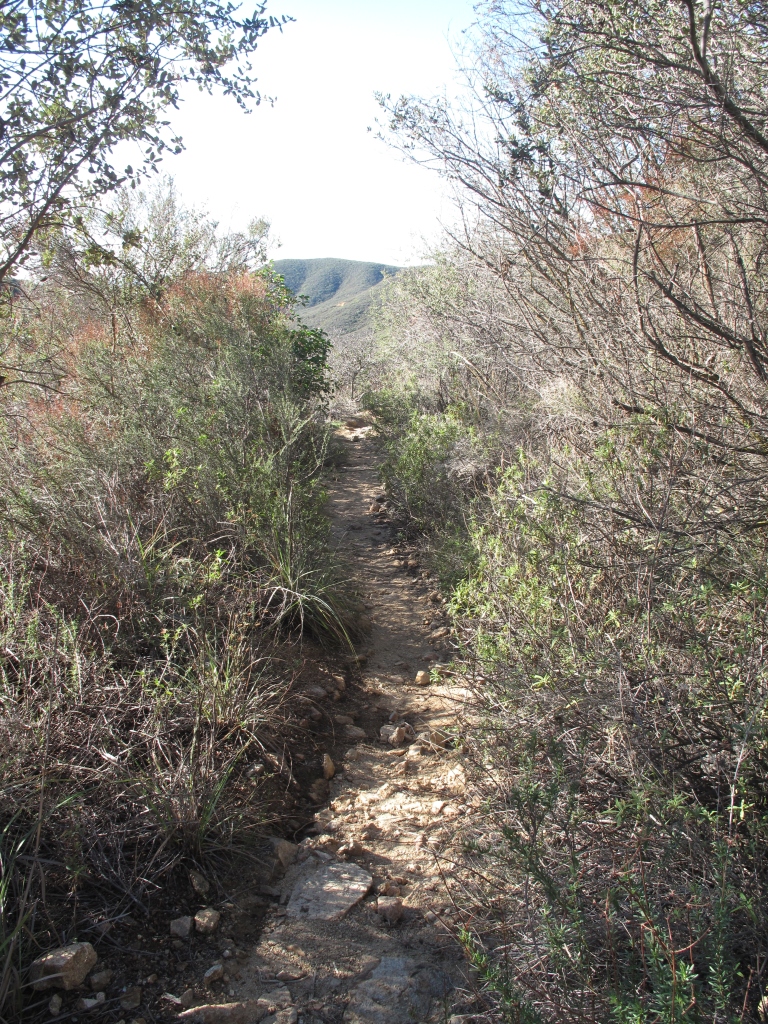
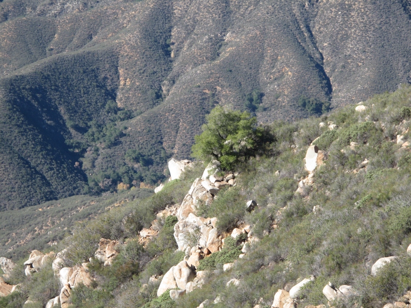
Whether you want to do SOTA or just hike Sitton Peak is definitely worth the effort a magnificent hike with spectacular landscape and views. You hike through long stretches of old California oak forest, through valleys and over ridges with a final really steep trail to the summit. Its a 10 mile hike to the summit and back to the trailhead. Use the Ortega Highway from Orange County or Riverside County and park opposite at the Candy Store at the Cleveland National Forest parking lot. The trailhead of Bear Canyon Trail is just across the street.
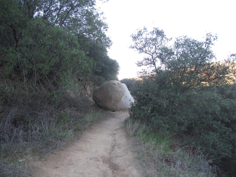
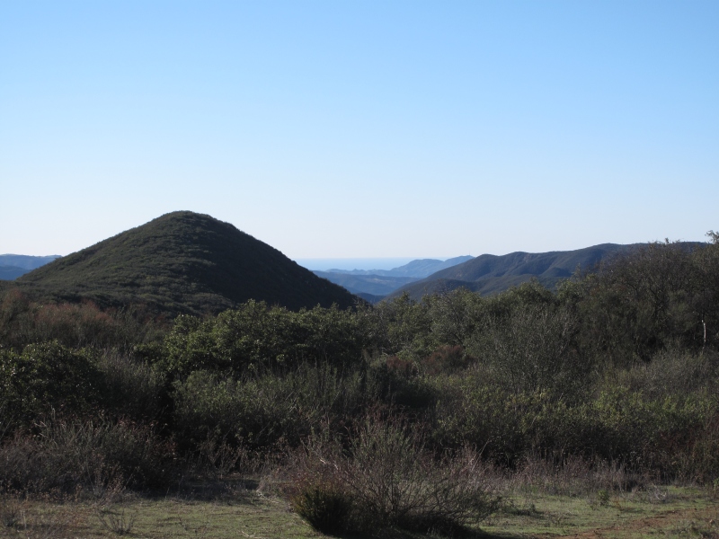
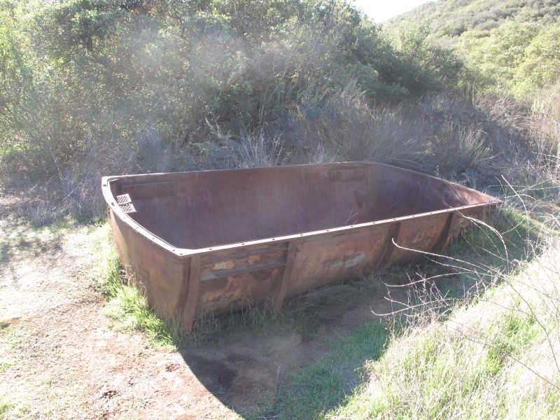
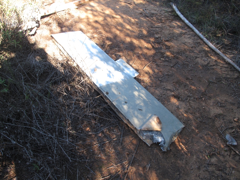
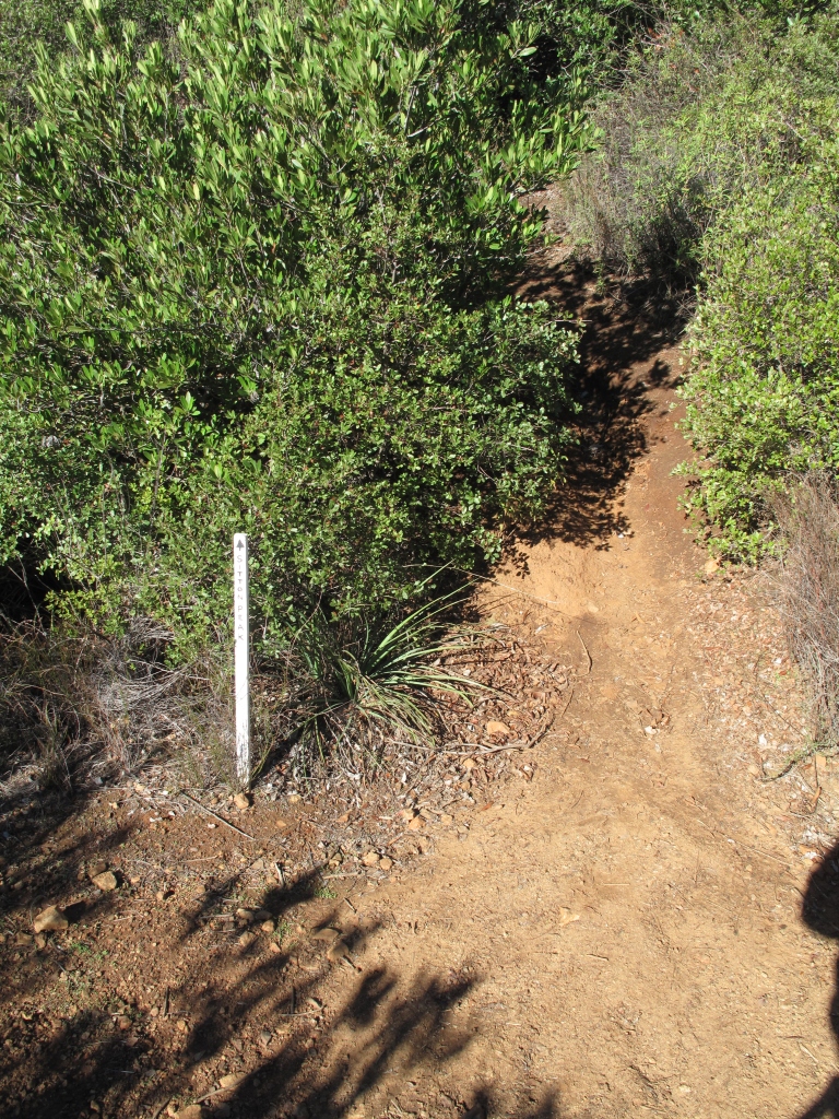
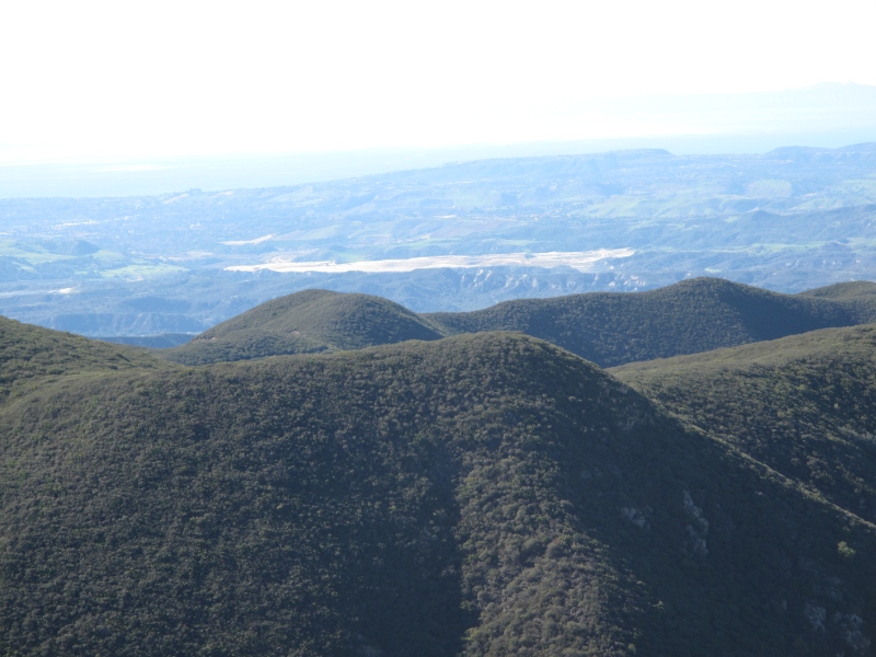
The variations on the hike are incredible, exposed ridges, deep valleys and long stretches of oak forest. At the final intersection where the final ascent to Sitton Peak starts a water tank and the debris of a helicopter crash clearly indicate the trail to the summit. The last 0.25 miles up to the peak are rough, extremely steep but have incredible views to offer. From the mountains to the Pacific great views.
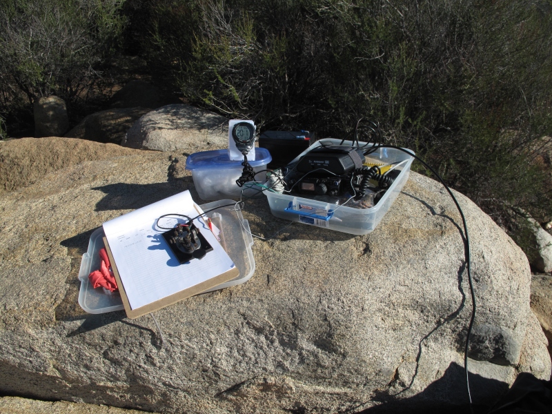
Operating conditions were not really good, signal strength and severe fading made it challenging to activate the summit. Thanks to Bob KB6CIO for spotting me and all the chasers who managed to get my weak signal.
Date:26/Dec/2014 Summit:W6/CT-172 (Sitton Peak) Call Used:WN6E
| Time | Call | Band | Mode | Notes |
|---|---|---|---|---|
| 19:07z | AE9F | 14MHz | SSB | 14,347.50 kHz |
| 19:10z | NS7P | 14MHz | SSB | |
| 19:23z | N6JZT | 24MHz | SSB | 24,950 kHz |
| 19:24z | KB6CIO | 24MHz | SSB | |
| 19:26z | KI0G | 24MHz | SSB | |
| 19:26z | N7ENL | 24MHz | SSB | |
| 19:27z | N4EX | 24MHz | SSB | |
| 19:27z | W0MNA | 24MHz | SSB | |
| 19:37z | W1AW/3 | 21MHz | SSB | 21,270 KHz |
| 19:47z | N7NGO | 14MHz | SSB | S2S 14,345.00 KHz |
73,
WN6E


Hopefully it wasn’t too windy there!